

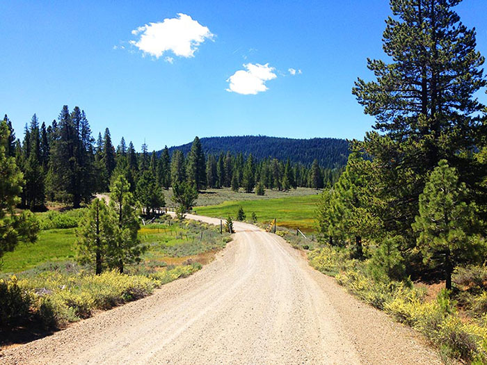
- California Enduro Series Announces 2024 Schedule - 11/19/2023
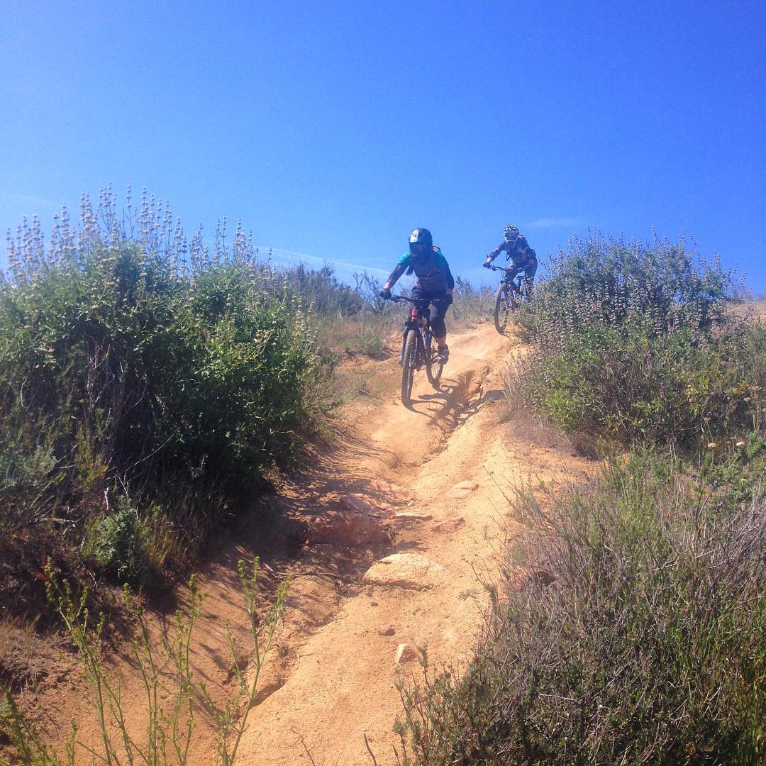
- ASHLAND MOUNTAIN CHALLENGE 2023 – CES RACE REPORT - 10/04/2023
- China Peak Enduro 2023 – CES Race Report - 09/04/2023
Exploring Death Valley National Park’s vast array of treasures
By Leonie Sherman
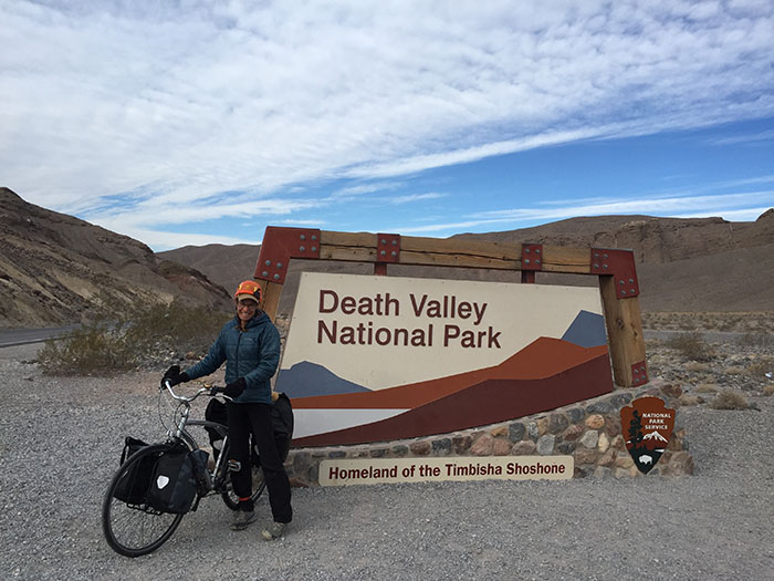
Entering the park along Highway 190 (Leonie Sherman).
When rain lashes the coast, wind scours the desert and snow pounds the mountains, chances are the sun is shining somewhere in the largest national park in the continental US. Sixty-five miles an hour is the wrong speed to absorb Death Valley’s spectacular salt flats, sand dunes, canyons, valleys and mountains, but hundreds of miles of paved roads traverse the varied terrain. Get on a bike and find your park.
Sparse vegetation throughout most of the park means the bones of the earth are laid bare and geology is on display. The 140-mile long rift that gives the park its name is a relatively flat ride, but four mountain ranges provide plenty of challenge for an ambitious rider.
Start small, aim high, go big. That’s how I explored Death Valley on two wheels.
Start Small
My chromoly companion of 20 years was stolen this past autumn. I was just getting to know my new bike when we arrived in Death Valley. We chose the 23-mile loop of Artists Drive and Palette for our first tour. I left my car in front of the historic Inn at Furnace Creek, pointed my bike south, and started pedaling.
Drivers are remarkably polite on the heavily trafficked Badwater Road. About three dozen cars passed me before the turnoff; each of them slowed down and moved into the oncoming traffic lane while passing. The one-way traffic on Artists Drive features even more considerate motorists. At one point, three cars were patiently cruising behind me, waiting for the road to widen; I pulled over to let them pass.
The road ascends a broad alluvial fan of jumbled rock which spills out of a deep gash in the face of the Black Mountains. Exposed rock dates back over 20 million years from a period of violent volcanic activity. Oxidization of minerals produces spectacular and varied colors. Iron turns pink, red and yellow, mica creates a pale green, and manganese becomes a vivid purple.
Artists Drive itself is a single lane of pavement that climbs over 2,000 feet, dipping and swerving to create a nine-mile long stomach-dropping roller coaster. All but the most cynical cyclists will return to their car with a grin still plastered on their face.
Aim High
Four major mountain ranges tower over Death Valley. The highest peak rises 11,300 feet in under 15 miles. With a summit 11,049 feet above sea level, Telescope Peak isn’t just the highest point in the park, it’s one of the greatest vertical rises in the country.
Over 8,000 feet of vertical gain stand between the turn off and the trailhead. Nine miles and about 4,500 feet of that climbing are on a rough dirt road best tackled in a 4WD vehicle. My new two-wheeled steed only has shock absorbers on the seat post. I decided to bike 25 miles to Wildrose Campground and meet a friend there for the climb.
Emigrant Campground, where I began my jaunt loaded down with gear and six liters of water, is 1,800 feet above sea level. My destination was only about 2,400 feet higher, but a 5,319-foot pass stands between them. The road climbs a relentless grade through Emigrant Canyon and levels out for a few miles before the final ascent. The last ten miles of downhill cruising tested my old school cantilever brakes.
The rutted tortuous nine miles to the Mahogany Flat trailhead the next day took 45 minutes in a high clearance vehicle and I was glad for the internal combustion engine.
I’ve hiked thousands of miles, from New Zealand to Alaska to Nepal. The trail to Telescope Peaks’s summit is among the most pleasant seven miles I’ve ever walked. It winds through pinyon, limber and bristlecone pines, mostly following a glorious ridge and gaining 3,100 feet without ever getting too steep. A broad saddle about halfway provides stunning views of the distant snow-capped Sierra.
From the summit a panoramic vista spreads in all directions. Whipping wind often encourages a hasty retreat, but linger a moment and savor the vast spectacle. To the east, the floor of Death Valley shimmers 11,000 feet below and the summit of Mt. Charleston, the highest peak in the Las Vegas area, is visible beyond the Amargosa Range. To the west, two vertical miles below, the Panamint Valley is a sandy plain rising to the escarpment of the Argus, Inyo and Sierra Mountains; Mt. Whitney glimmers in the distance.
Bike or no bike, a climb of Telescope Peak grants a new perspective on the hottest, lowest park in the country.
Go Big
From Furnace Creek, a 120-mile loop includes a meandering desert river, a passage through rugged mountains and the surreal erosion of Zabriskie Point. The loop also climbs over 6,000 vertical feet. A bike warrior could complete it in a day, but I planned to take two nights.
A hundred cars passed me in the first 17 miles of Badwater Road. The boardwalk leading to the lowest spot in the US, 282 feet below sea level, was clogged with camera-wielding tourists. The line for the outhouse was 12 deep. I rode off to pee on a creosote bush.
Death Valley National Park encompasses over three million acres of wild terrain, but humans congregate in only a few locations. After Badwater Basin, I saw half a dozen cars in 30 miles of gentle rolling terrain. In the gleaming indigo twilight a coyote stepped onto the road and strolled a hundred yards before crossing.
The road hugs the east side of the valley, hard against the Black Mountains, where deep canyons spew rubble onto steep alluvial fans. Vegetation vibrates in the fierce wind and the dark bulk of the Panamint Mountains rises across the salt-encrusted plain.
The next morning I watched the sun seep into day, casting rose and orange hues on the snow-capped peaks. I didn’t see a car for three hours as I struggled towards Jubilee and Salsberry Passes. After Shoshone, California Highway 178 skirts the eastern edge of the park, following the winding Amargosa River. Traffic was minimal and even big rigs crossed the double yellow line to give me plenty of space.
At Death Valley Junction I ducked into the Amargosa Cafe to escape the relentless wind and discovered the finest bakery for 100 miles. Europeans rave about the coffee. I devoured thick slices of homemade bread and downed half a glass of fresh goat milk. Most of the ingredients are organic and sourced locally. The proprietors, Bobbi and Travis, are enchanted with the land and you can taste the love in their food.
I sheltered from the wind that night in an abandoned adobe shack and enjoyed the final 30-mile ride back to my car the next morning. The 1,000-foot climb through the Funeral Mountains was so moderate I barely had to change gears. It was followed by the best 20 miles of my journey, a screaming descent past dunes and mountains and into the bustle of Furnace Creek.
I returned from even the shortest of my bike tours caked in filth and sweat. Under bluebird skies I suffered heat exhaustion; on overcast days I dressed like I was ice climbing. But it only took 24 hours before I was plotting my next tour of Death Valley on Two Wheels.
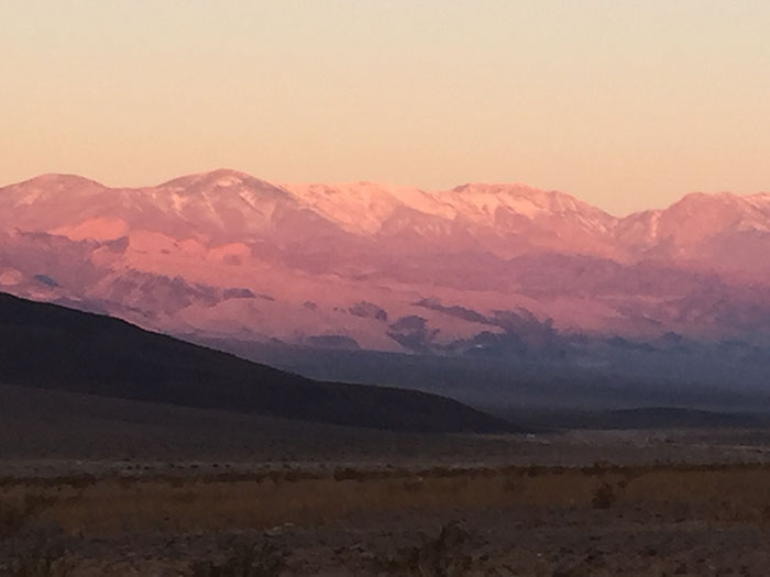
Sunrise on the Panamint and Inyo mountains (Leonie Sherman).
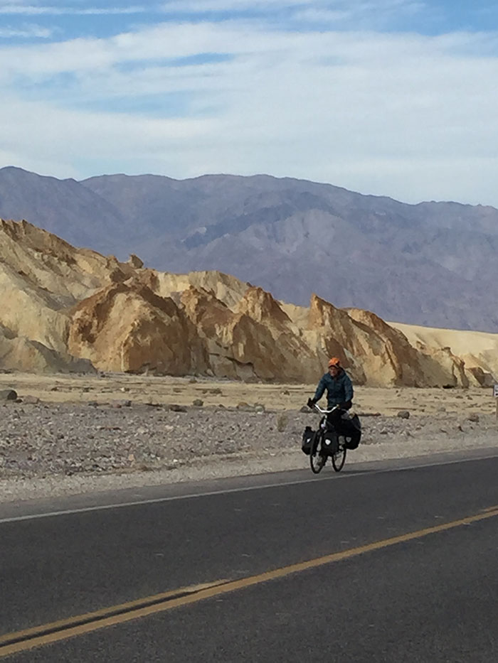
Biking near Zabriskie Point (Leonie Sherman).
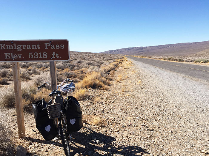
Reaching the pass was a relief after 3,300 feet of climbing (Leonie Sherman).


