- Tahoe’s Nevada Beach Tops the List of Hard-to-Book Campgrounds - 07/17/2024
- Cannabis Watershed Protection Program Cleans Up Illegal Grow Sites - 07/10/2024
- French Fire - 07/05/2024
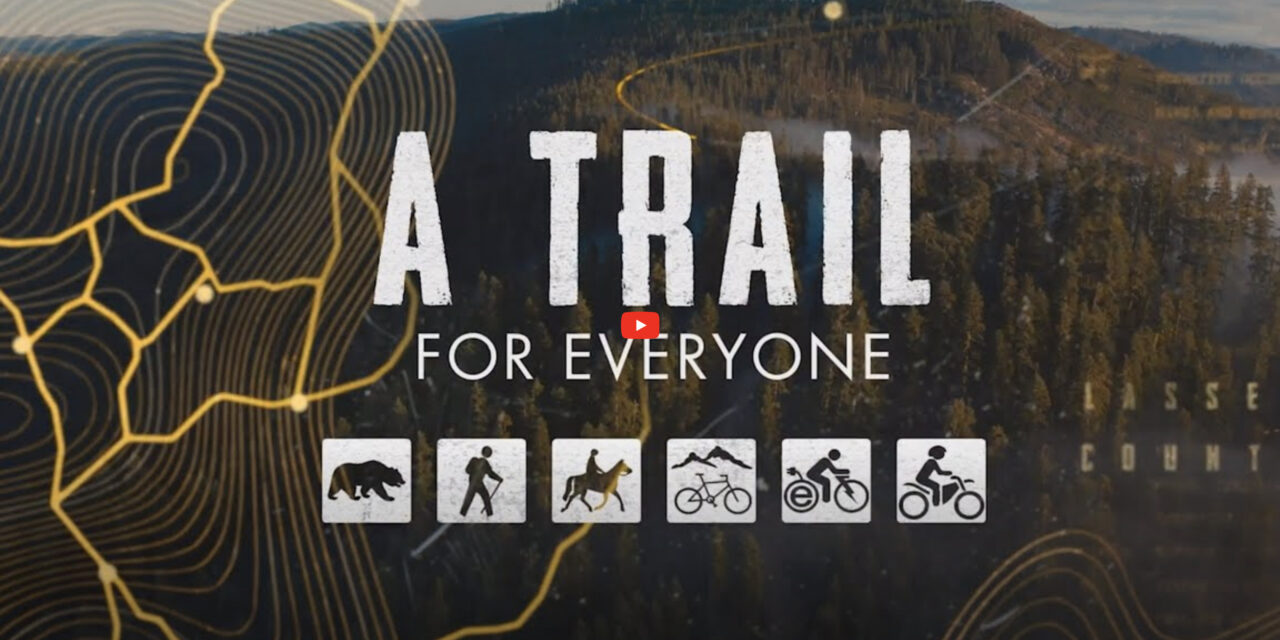
A Trail For Everyone
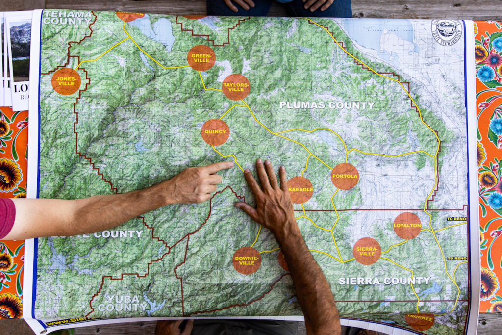
Downieville, CA: Home to hundreds of miles of maintained multi-use trail, the Sierra Buttes Trail Stewardship (SBTS) is creating a Trails Master Plan, laying out a world-class multiple-use trail system, providing an economic recreation asset for severely disadvantaged communities across Plumas, Sierra and Lassen counties in the Lost Sierra region of Northern California. Open spaces and a connection to nature are more important now than ever before, and the volunteer-driven vision of the SBTS is an example all can emulate.
Watch the video below …
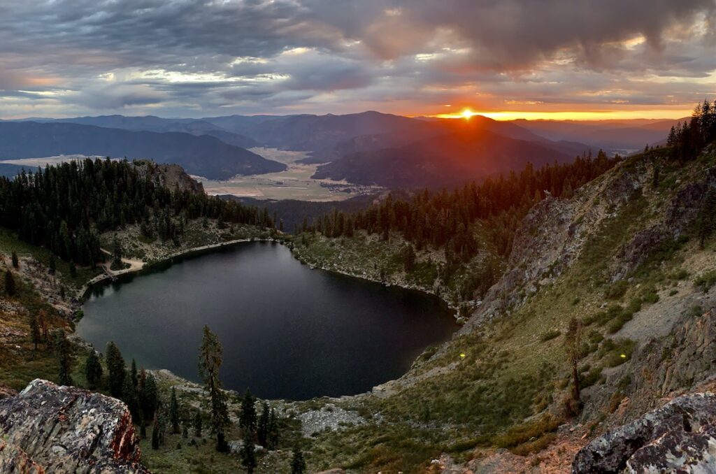
A key component to the Connected Communities Trails Master Plan is the proposed “Lost Sierra Route”, which traverses 300 miles over breathtaking topography, jagged peaks and high alpine meadows similar to the Pacific Crest Trail (PCT) and the John Muir Trail (JMT). But unlike the PCT and JMT, this new trans-Sierra Nevada and Cascade Range route allows for all dirt trail travelers including hikers, mountain bikers, moto riders, equestrians, trail runners, hunters, fishermen, wildlife, grandmothers and babies in backpacks. The Lost Sierra Route will be a trail for all to use that will link mountain communities together for recreational adventure and economic sustainability.
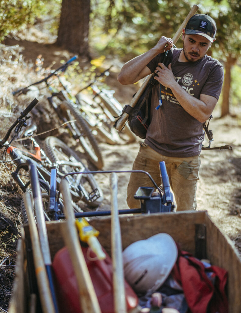
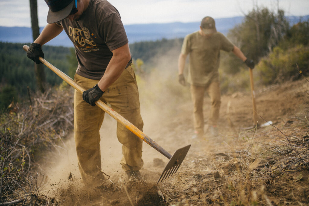
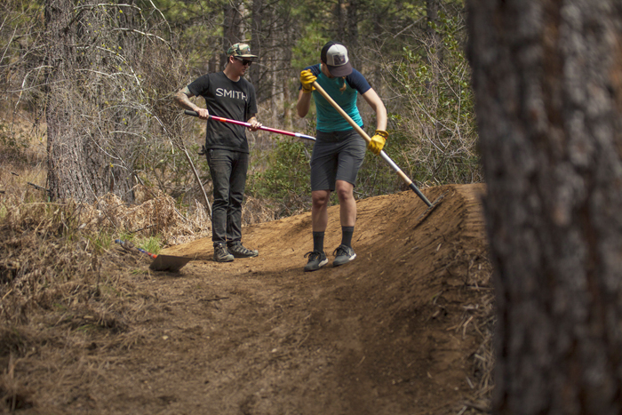
Ben Cruz preps for another day of building trail near Quincey Ca.
About Sierra Buttes Trail Stewardship (SBTS)
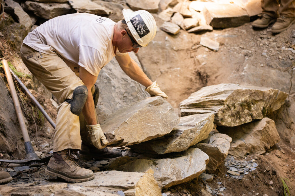
Since its founding 17 years ago, last year SBTS celebrated its 100th mile of new trail constructed as well as logging its 100,000th hour of volunteer labor. Never one to be resting on its McLeod, last year SBTS also launched its legacy project, developing the Trails Master Plan for Connected Communities and the proposed Lost Sierra Route.
Fueled by Prop. 68 funds provided through Sierra Nevada Conservancy’s Resilient Communities Grant Program, in conjunction with a long list of local, state, and federal partners (including US Forest Service, Bureau of Land Management, CA State Parks, local Land Trusts), SBTS is creating a Trails Master Plan, laying out a world-class multiple-use trail system, providing an economic recreation asset for severely disadvantaged communities across Plumas, Sierra and Lassen counties.
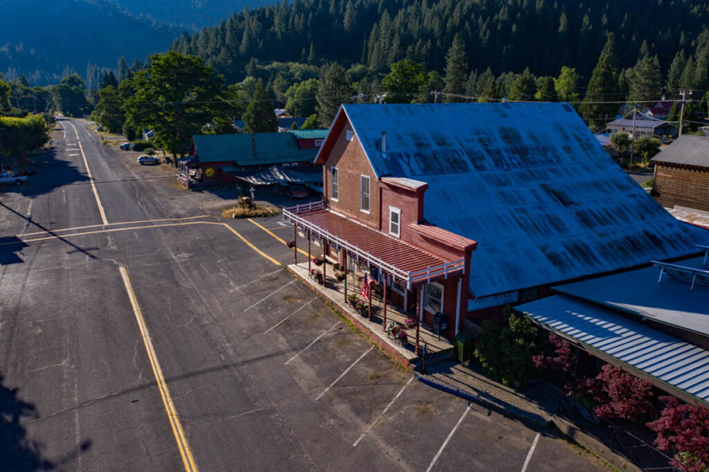
The Lost Sierra Route, covering 300 miles of breathtaking views and nature in its most primitive form, is modeled after iconic routes like the Pacific Crest Trail or John Muir Trail. But the Lost Sierra Route is different in that it’s a Trail for Everyone; from equestrians and hikers to cyclists and dirt bikers. Also, unlike the PCT or JMT, the Lost Sierra Route will find its way onto “Main Street” in every town, bringing trail users into the heart of the town for accommodations and resupply opportunities, helping fuel a much-needed economic engine.
Building on this concept of Main Street, the Trails Master Plan will also develop the concept of a trail passport, encouraging people to register before their adventure so they can carry the passport to each community, receiving stamps and special offers from local business owners, giving trail users an incentive to come and visit each community.
The Trails Master Plan will not only create a way for trail travelers to see these small towns, but it will also have a massive positive impact on the local economy. Small restaurants, gas stations, and local shops will have the ability to serve people from other places, creating connections as well as much-needed jobs and revenue for their business and town. Trails on public land can create local employment, attract new visitors, and eventually a new generation of residents who put a priority on the quality of life and backyard recreation opportunities; all elements in creating resilient mountain communities.
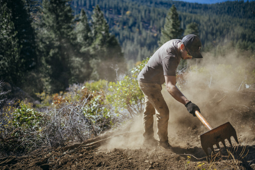
The Mccloed is the trail builders best friend. Ben Cruz, Lost Sierra, Ca
