- California Enduro Series Announces 2024 Schedule - 11/19/2023
- ASHLAND MOUNTAIN CHALLENGE 2023 – CES RACE REPORT - 10/04/2023
- China Peak Enduro 2023 – CES Race Report - 09/04/2023
72 miles of blue water bliss
By Trevor Husted
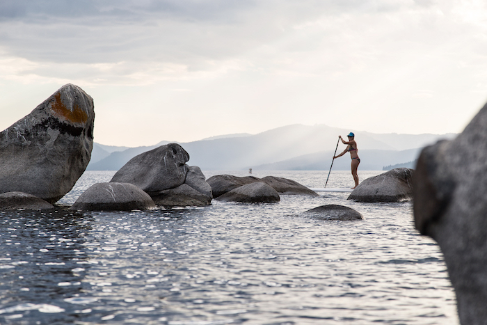
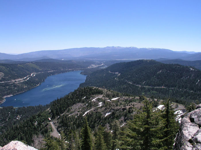
Navigating the crystal clear waters of Lake Tahoe by paddleboard or kayak is as much of a good time as it can be an endurance test. The nation’s second deepest alpine lake provides paddlers with delightful mountain views, aquatic beauty, and plenty of challenges. Paddling the entire 72 miles around the lake by SUP or kayak is an extreme endeavor and is only appropriate for highly experienced and fit individuals. That said, you can work your way up to a complete circumnavigation by getting familiar with the numerous day trips described below.
A word on safety
Do not underestimate the serious nature of exploring Lake Tahoe by paddle. It’s a large alpine lake that can have big water conditions. There have already been a few rescues this year. Sadly a few people drown every year in Lake Tahoe and almost all these deaths could have been prevented by using a simple lifejacket. Law enforcement around Lake Tahoe has zero tolerance for paddlers lacking life jackets and they will issue fines.
Always check the weather report with the understanding that things can change quickly and unexpectedly. Typically morning is the best time to go as winds can come up quickly in the afternoon.
Experienced paddlers know the saying “less than three shall never be.” Meaning people should paddle in groups of at least three. Ideally each paddler has taken some paddling and safety classes from a reputable outfitter.
If SUPing, we recommend mixed parties that include at lease one sit-on-top kayak. There is strength in numbers, kayaks hold more food and gear, and people can trade off if the SUP becomes too exhausting.
While it may be hot outside, the water is cold and hypothermia can disable you quickly. Dress for the temperature of the water, not the weather.
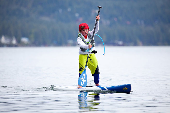
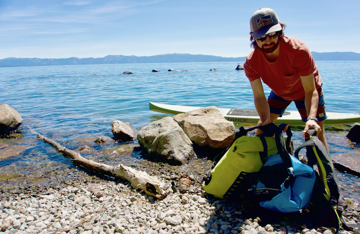
Always wear a PFD and make sure to have a whistle and/or other signaling device handy. If SUPing, wear your leash at all times. Bring water, sunscreen and hat/glasses. Wearing a UV surf shirt or rash guard, and surf booties or water shoes is recommended for longer trips. If it is a full day or overnight trip don’t forget to include a headlamp, multi-tool, duct tape, bug spray and extra layers/change of clothes in a properly sealed drybag that is securely fastened to your boat/board.

Choosing your craft
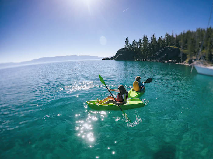
Closed deck kayaks should only be used by experienced paddlers who have been trained and have the gear for self-rescue. Sit-on-top boats are the only option for beginners, and fun for more experienced paddlers as well.
When picking your SUP, surfing and racing boards will not be your best option for a lake paddle. Instead, consider an all-around or flatwater style SUP as they are quite adaptable. The all-around style is thick and wide which helps for balance and can be versatile in a variety of conditions. Flatwater boards are similar in characteristics, but tend to have a more accentuated tail and a sharper nose that is helpful in cutting through bellowing whitecaps as well as moving more quickly.
Determining whether to go with an inflatable or hard paddleboard is an easy decision: if you are not planning on hiking too far from the lakeshore then stick to a hard paddleboard set-up.
Also, a board with lashing hooks and a bungee is essential for strapping down your dry bags. And again, always make sure to wear your leash.
Day to overnight trips
Below are some possible day trips that would require lodging or a shuttle at the end of the day. Once you have done each section of the lake and are fully familiar with the challenges and protocols for each section you will be in a position to evaluate your ability to do a full circumnavigation in one push. Remember this is just a brief guide where 10 – 15 miles per day is about the average so if you want to go more or less each day that’s where the research comes in.
>> SECTION 1: Zephyr Cove to Camp Richardson – 10 miles
Starting in Zephyr Cove and moving to South Lake, you will be indulged in the urban side of Lake Tahoe. Around every inlet you may not even realize there is a city up ahead as you paddle past the sandy beaches and pine covered hillsides. Paddling past Round Hill, the views of the downtown casinos with the Heavenly Gondola as a back drop come into sight. Make your way through the mountain hustle to the intricate canals and pristine homes of the Tahoe Keys before entering into Camp Richardson, established as a timber holding before becoming a resort in the early 1900s.
>> SECTION 2: Camp Richardson to Meeks Bay – 13 miles
Getting an early start on day two can put you into Tahoe’s pristine Emerald Bay just in time for sunrise. Here you encounter Lake Tahoe’s only island, Fannette Island — which has had many other names throughout the years —adorned with rocks, trees, and the ruins of a tea house built by landowners of the nearby Vikingsholm estate. The paddle up the west shore from here gains some more scenic views through D.L. Bliss and the craggy rock formations that form around the area’s Jeffrey, lodgepole, and sugar pines. The rejuvenating pine scents will hopefully give you that extra boost of energy to make it to the gorgeous water of Meeks Bay.
>> SECTION 3: Meeks Bay to Tahoe CIty – 12 miles
As you continue north along the west shore you will paddle past the splendid sights of Sugar Pines State Park and through some of the lake’s smaller towns as you enter into the North Lake section of the journey. Passing Tahoma and onwards towards Homewood Ski Resort you will start to notice the ample opportunities to visit lakeside restaurants to grab a drink, lunch, or dinner.
>> SECTION 4: Tahoe City to Incline Village – 15 miles
Winding around Dollar Point you will start to notice some of the lake’s finest homes as you continue north to Kings Beach and Crystal Bay, which at one point was the party of choice for Frank Sinatra and the rest of the Rat Pack in the early 1960s. You are now in Nevada and the delightful views and the serenity of this bay will lead you to Incline Village. There is no camping in or around Incline Beach, however there is the option to stay at the Hyatt-Regency which is right on the waterfront offering gallant views of the lake from its northern most point.
>> SECTION 5: Incline Village to Zephyr Cove – 21 miles
There are no lodging or camping options along the gorgeous and desolate east shore, so this requires a 21-mile push to Zephyr Cove — a challenging and committing endeavor. This section offers up some of the most beautiful and secluded beaches that the lake has to offer. It is best to get an early start so you can stop to enjoy the many sights along the way. Paddling through Incline you will soon meet the tropical shores of Sand Harbor and from here you will encounter no towns until South Lake. Bask in the sun and soak up the views of the lake, the bundled granite stones stacked like pebbles, and the singular trees jutting out across each point. This is a big day so plan on being exhausted when you make it to Zephyr Cove.
A word on lodging
Reserving lodging in advance is crucial, especially during the summer months, which are very busy. Typically things start slowing down in Tahoe after Labor Day and the weather can remain nice into October, making fall an ideal time to visit.
Camping is only allowed in developed campgrounds with a reservation. Fires are only allowed in developed campgrounds with permanent fire rings. The sometimes challenging logistics of camping, make one of the many lodges along the water trail a better option for those with little overnight paddling experience.
____________________________________________________________________________
New Waterproof Map & Access Guide Helps Paddlers Navigate Lake Tahoe
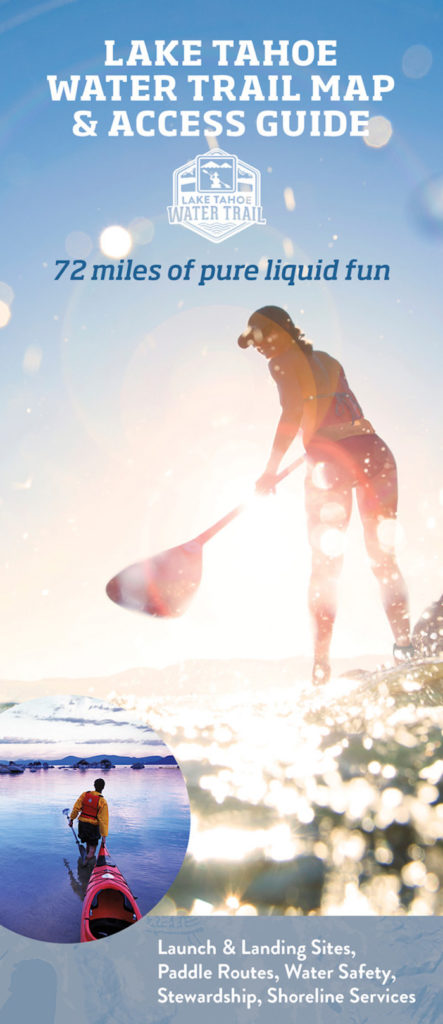
Sierra Business Council has just released the Lake Tahoe Water Trail Map & Access Guide to help paddlers safely find their way along the 72-mile water route. This 24” x 36” waterproof guide pinpoints 37 public launch and landing sites including 20 trailhead sites with wayfinding signage, restrooms and parking. The guide also features mapped paddle routes with public beach access, campgrounds, water safety and conservation tips to help paddlers have a safe and fun adventure while practicing good stewardship that protects the watershed.
With safety top of mind, the guide is intended to be used with the Lake Tahoe Water Trail website – laketahoewatertrail.org – that includes an interactive wayfinding map to identify launch and landing sites from land and the water, real-time wind and weather conditions, downloadable mapped routes, and an easy-to-use File a Float plan tool to inform others about your planned paddle trip.
Guides can be purchased at Tahoe paddle shops and locations listed on laketahoewatertrail.org and on the website. Proceeds from the guide sales help Sierra Business Council develop paddle education programs and materials.
